


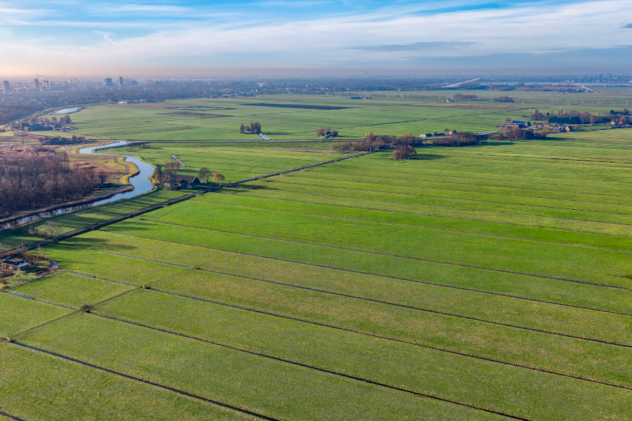
Remote sensing technology uses satellite, airborne, and drone sensors to gather critical Earth observation data. Dr. Víctor Herrera González, a professor in USACH’s Department of Geospatial and Environmental Engineering (Digea), explores these applications in his newly published book in Spain, Cartography and Remote Sensing Applied to Engineering and the Environment.
Revised during the second half of 2025, the text was published in early 2026 by the renowned academic publisher. Now available in multiple languages, the work is being distributed across all five continents.
“This book is an update of a work completed in 2005 and published by Editorial Usach. However, to achieve broader coverage, it was even given a new title as it delves more deeply into various new topics in the field,” said Professor Herrera.
Dr. Víctor Herrera's work centers on leveraging remote sensing to detect dynamic changes across the Earth's surface. This research directly intersects with national defense and space initiatives, particularly the applications developed at the Chilean Air Force's (FACh) new National Space Center.
“The book’s title reflects its core content,” Dr. Herrera explains. “This integration of technologies supports training in our own geodesy, geomatics, and environmental programs, while serving critical sectors like mining, civil engineering, architecture, agriculture, public safety, and meteorology. It also offers practical value for key public institutions, including the Chilean Air Force (FACh), the Military Geographic Institute (IGM), the Ministry of Public Works (MOP), and the Hydrographic and Oceanographic Service of the Chilean Navy (SHOA).”
While DIGEA specializes in these technologies, other sectors are increasingly adopting them to collect high-value geospatial data. Today, remote sensing enables comprehensive monitoring across atmospheric, surface, and subterranean levels—leaving virtually no environmental parameter unmapped.
“Even law enforcement agencies can benefit from these technologies by having real-time aerial surveillance, mapping of large areas, and the tracking of illicit activities, thereby enhancing smart enforcement, as well as strengthening border surveillance with high-spatial-resolution thermal maps,” concluded Dr. Herrera.